
Ngari travel guide
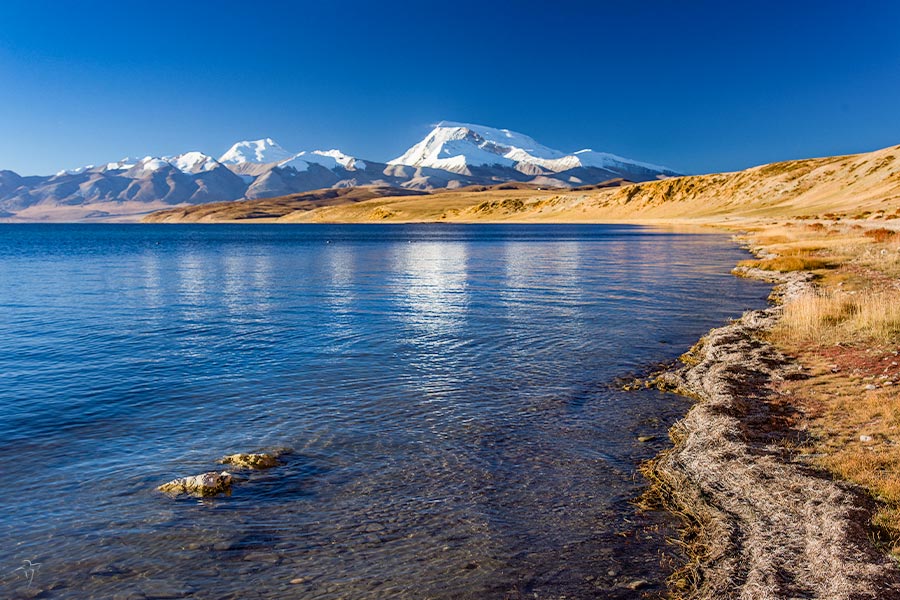
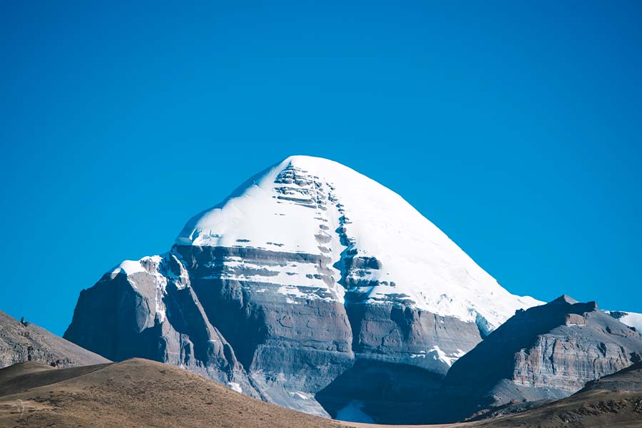
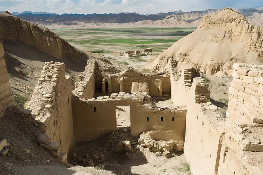
Ngari in brief Ngari Prefecture, in the west of Tibet, is located in the heart of North Qinghai-Tibet Plateau-Chang Tang Plateau. Starting in the east from Tangula Mountains connecting with Nagqu, it reaches the western section of the Himalayas in the west neighboring India, Nepal and Kashmir, connects the middle section of Mt. Gangdise in the north and leans on the Kunlun Mountains bordering upon Xinjiang Uygur Autonomous Region. Covering over 300,000 square meters, Ngari stands 4500 meters above sea level on average, governs 7 counties and nurtures only 80 000 people; it is the area in the world with minimum population density. Tibet is known to people as "the roof of the world", as the highest area on the earth, Ngari is regarded as "the roof of the roof"; it is not only the "ancestors of mountains" that the Himalayas and the Gangtise meets, but also the "origin of rivers" giving birth to the great waters of the Yarlung Zangbo River, the Indus River and the Ganges River. In the area of Ngari, the sky and clouds are low, snow mountains are continuously stretching, lakes are scattered all over, and champaigns are boundless. History of Ngari - a region with a long h...More information about Ngari »
Quick Questions
Our team is waiting for your questions. Please feel free to ask us any questions you might have about our China package tours, Chinese culture, or the sites available. We will gladly help you with any special needs you might have and all questions, like our trip designing is completely free of charge.

