
Yuli travel guide
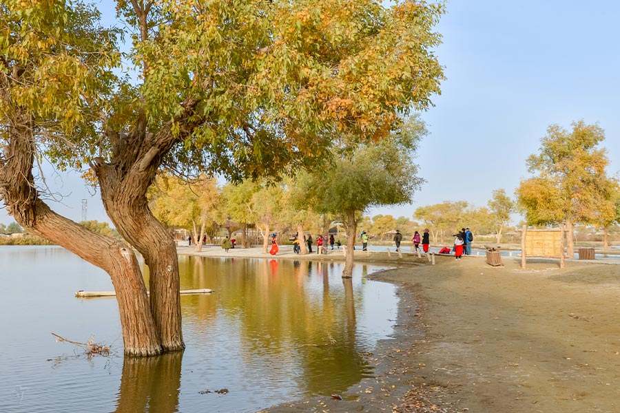
Yuli in brief Yuli County, or Lopnur County, located in the center of Xinjiang Uygur Autonomous Region, is under the administration of the Bayingolin Mongol Autonomous Prefecture. Covering 60,000 square kilometers, Yuli is divided into 9 towns and has a population of 112,400, of which 56% are Uyghurs. Some 50 kilometers to downtown Korla and seated in the northeast of Tarim Basin with Tarim River flowing through, the terrain of Yuli leans to the southeast with mountain front alluvial Gobi plain in the north, Tarim River and Kongqi River alluvial plain in the middle and Tarim Basin and part of Taklimakan Desert in the south. With an average altitude of 2000 meters, Yuli falls within warm temperate continental arid climate with dry air, sufficient sunlight and large temperature difference between day and night. The dominant industry is agriculture, and a coordination of farming and animal husbandry. History of Yuli - the location of ancient Quli Kingdom Yuli was called Lopnor (literally means peacock or cobbler in Uyghur language) in ancient times. It was named after Lop Nor, a saline lake in the east of Tarim Basin; it was the location of Quli Kingdom, which i...More information about Yuli »
Quick Questions
Our team is waiting for your questions. Please feel free to ask us any questions you might have about our China package tours, Chinese culture, or the sites available. We will gladly help you with any special needs you might have and all questions, like our trip designing is completely free of charge.

